 Setting Stake Elevations
Setting Stake Elevations In Placing Station Points Along the Road Polyline, the stake elevations were set according to the site model; in real situations, a road is often set to a grade other than natural grade. The Align Stakes Vertically command sets the elevation of the stakes to a specific plane.
To set the stake elevations with a linear alignment:
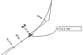
Set the elevation of only one of the terminal stakes (one of the stakes at the ends of the segment to align) by selecting the stake and entering its elevation in the Object Info palette. If a site model was present when the Station on Polyline command was executed, the elevation of the stake is set to the proposed site model elevation for reference.
In the segment to align, press the Shift key to select both the first and last stake (the stakes at either end of the desired elevation alignment), and then select the Align Stakes Vertically command from the appropriate menu:
● Designer workspace: AEC > Roads > Align Stakes Vertically
● Landmark workspace: Landmark > Roads > Align Stakes Vertically
The Align Stakes Vertically dialog box opens.
Enter either a slope value as a rise over run ratio for the road (using a forward slash (/) as a delimiter), or the elevation of the last stake, and click OK.
The elevations of the stakes located between the selected stakes are set to the specified plane.
~~~~~~~~~~~~~~~~~~~~~~~~~