Creating an open edge line modifer
|
Mode |
Tool |
Tool set |
|
Open Edge Line
|
Site Modifiers
|
Site Planning |


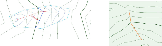
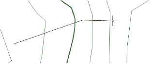
An open edge line modifier is an open 3D polygon which modifies the site model, and represents an open line at a constant elevation. The modifier can be applied to the existing or proposed site model. Draw the line with the Site Modifiers tool, or draw a polyline and then select the Create Objects from Shapes command to change it to a line object (see Creating objects from shapes).
The recommended method of creating and editing contours is by Editing site model contours.
To create a contour:
Click the tool and mode. Specify the pad elevation from the Tool bar if desired.
Draw the open edge line object.
The parameters can be edited from the Object Info palette.
Click to show/hide the parameters.Click to show/hide the parameters.
|
Parameter |
Description |
|
Simplification Tolerance |
Enter a positive value to redefine the horizontal distance between the closest parts of two neighboring portions of the modifier. A longer distance simplifies the modifier polygon, reducing the number of source points that modify the site model. A shorter distance increases the number of source points that modify the site model. A value of 0 (zero) does not simplify the modifier. |
|
Modifier Vertex Count |
Displays the number of vertices created by the site modifier to modify the site model |
|
Apply To |
Specifies whether the site modifier applies to the existing or proposed site model |
|
Update Site Model |
Updates the site model with any site model modifications that have occurred. If the update causes the site model contours to fall outside the minimum/maximum elevation range specified in the site model settings, an alert displays, allowing the range to be adjusted. |
|
Configuration |
Indicates the type of modifier object |
|
Contour |
|
|
Elevation |
Sets the reference elevation of the pad at its control point; if a Z-height is also specified, the resulting elevation is additive |
|
Information |
Displays site model data |
|
Update Calculations |
Updates the area and volume calculations displayed in the Object Info palette for the area of the site model located under the site modifier |
|
Site model area and volume data |
Displays the area and volume information for the site model area located under the site modifier; select the units for the area and volume. For more information, see Site model properties. |
|
Vertex parameters |
Edits the path vertices; see Editing vertex-based objects |
Normally, create grade limits around the open edge line.
To reflect the modification, click Update Site Model from the Object Info palette.