Rotating the geolocated image
|
Mode |
Tool |
Workspace: Tool set |
|
Rotate
|
Geolocate
|
Design Suite, Architect, Landmark: GIS Spotlight: Event |


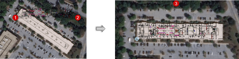
Rotate mode changes the orientation of the background image, which is necessary when angle to true North prevents proper alignment of the geolocated drawing. The mode uses a 3-click operation, similar to the Rotate tool (see Rotate tool).
The Rotate mode will change the Angle to True North value in the Document Georeferencing dialog box.
To rotate the geolocated image:
Click the tool and mode.
Click once to set the origin, then click a second time to establish the reference line.
Move the cursor to rotate the background drawing.
When properly aligned, click a third time to set the position of the background image.
To undo the rotation, set the Angle to True North parameter in the Document Georeferencing dialog box to 0 (zero).