In the Vectorworks Design Series products, the geographic information system (GIS) features allow you to geolocate Vectorworks drawings. Geolocation aligns the file’s internal origin with the project’s actual location on the Earth, which offers many advantages to your work.
Vectorworks Architect and Landmark products have access to the full suite of georeferencing tools and commands; The Spotlight product has access to a more limited set of tools and commands.
Georeferencing allows you to work with geographically-aware data. For a small-scale architectural or landscape project, you might want to accurately import information related to the project site, such as property boundaries or municipal utility resources. For a larger scale planning project, you might import multiple shapefiles and image files and arrange them into maps, adding colors, symbols, and notes based on database information. You might then export files for use in other GIS software. Working with GIS files and tools begins with specifying georeferencing options for the file and enabling georeferencing for relevant design layers.
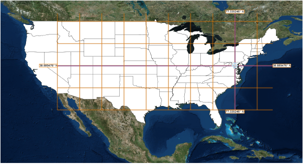
The GIS tools make it possible to view the drawing against the proper portion of a geolocated image of the area, and then align and orient the drawing to that area, according to a geographical coordinate system. Raster image content is loaded from a selected online portal or service, such as WMS servers or ArcGIS servers under license from Esri (internet access required). The ability to access online services means that a wide variety of content is available, including satellite images, street maps, topographical maps, and much more. Both publicly-available and licensed resources (login required for some services) are available directly from the Vectorworks drawing.
The Geolocate tool temporarily displays a background image for geolocating the drawing, while the Geoimage tool adds geolocated images into a georeferenced layer of the drawing. Additional features to make common GIS operations easier include tools for adding GIS-aware stakes, a graticule, and great circle to a drawing.
|
|
Click here for a video tip about this topic (internet access required). |
~~~~~~~~~~~~~~~~~~~~~~~~~
